
The beach
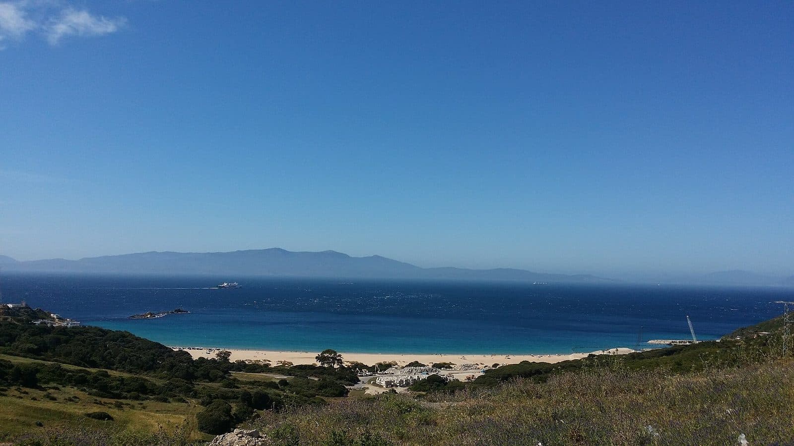
A wide sand beach running for kilometres either side of the river mouth, especially to the south-east where the river opened a broad bay.
واد لو
The village on the Mediterranean the horses set out from, and the valley that carries its name.
بارك ميدايوس
Oued Laou is a village on the Mediterranean coast, in the province of Tétouan, in northern Morocco. The coast road puts it about 40 kilometres from Tétouan; Chefchaouen lies inland, less than an hour away over the mountains.
The village takes its name from the river that meets the sea here. That river shaped the bay, the orchards and the plains the rides cross.
Between Tétouan and Chefchaouen, Oued Laou takes from both: the sea on one side, the mountains on the other, and in between the river it is named after. That meeting is what makes the place.
2024 census
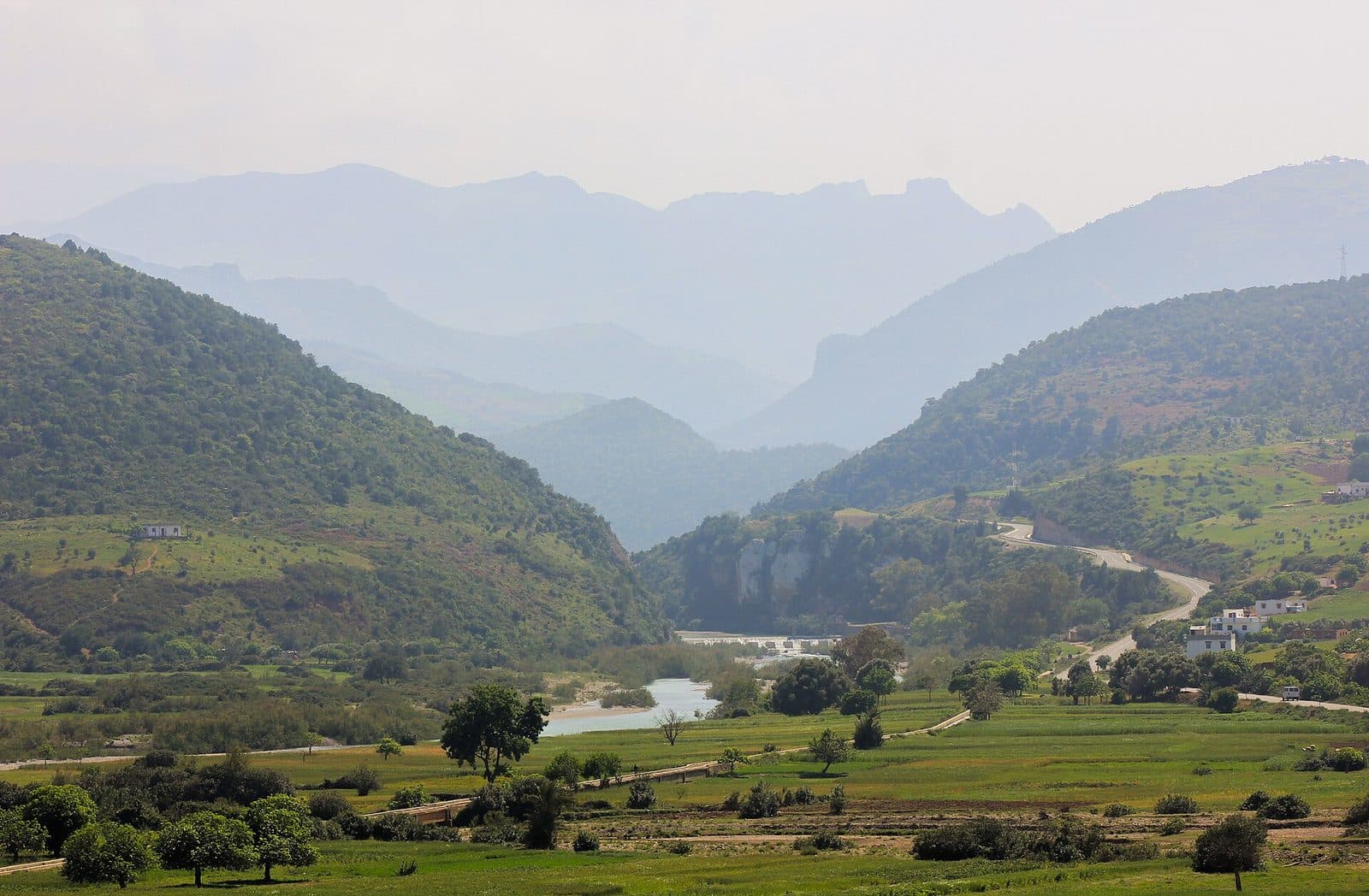
The Oued Laou rises near Bab Berred, in the western Rif. It runs down 65 kilometres, passes not far from Chefchaouen, takes in the waters of the Akchour, and opens onto the Mediterranean right beside the village.
It drains a basin of about a thousand square kilometres and averages twelve cubic metres a second — enough to keep the valley green for most of the year, and low enough in summer for a horse to walk across it.
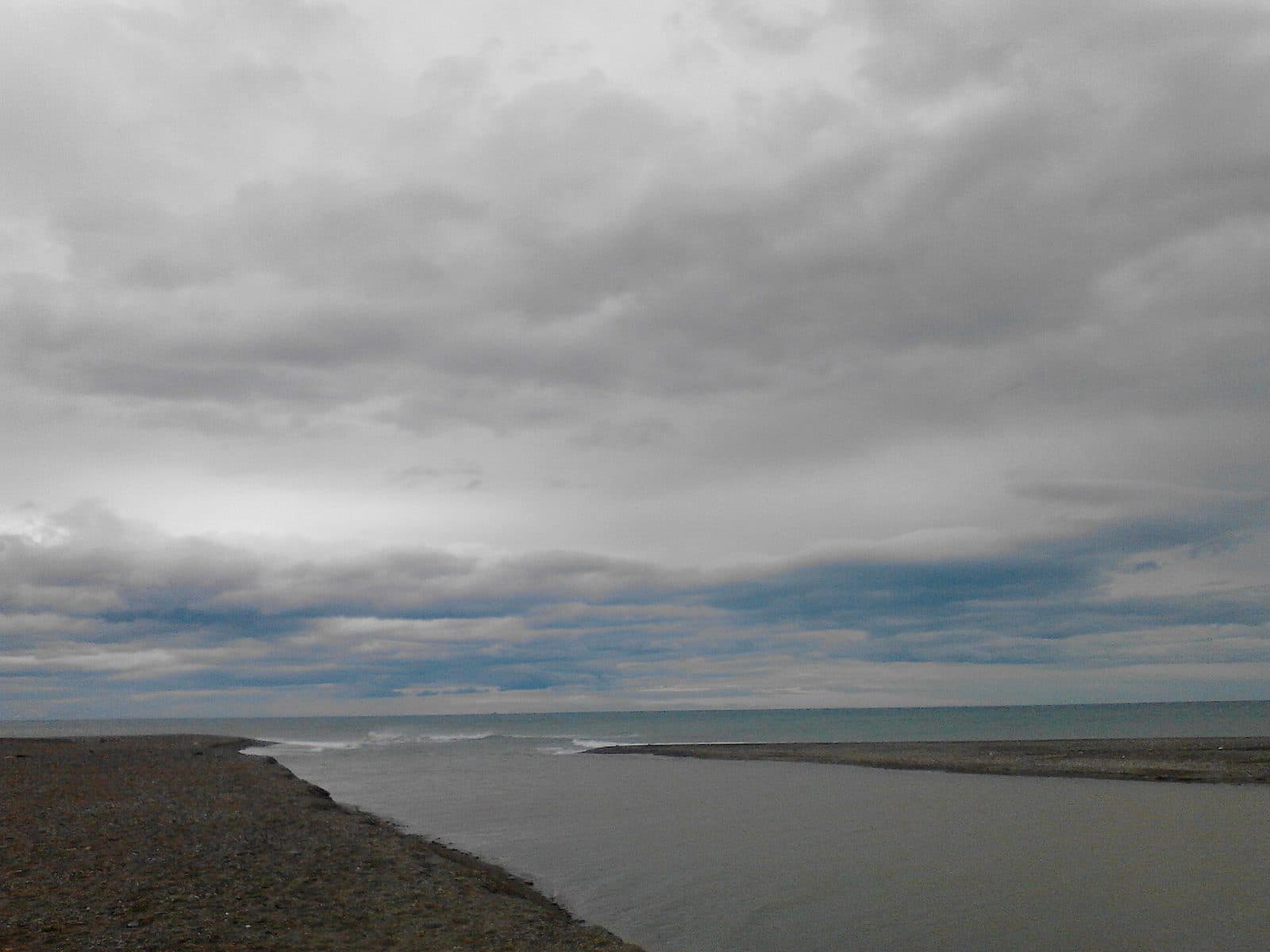
Pliny the Elder recorded this river in the first century as flumen Laud, and described it as navigable. It is the oldest written trace of the place.
Today the village has a little under twelve thousand inhabitants and lives on fishing, on the orchards of the valley, and on the summer.
The area also keeps old historical sites, the kind that make a visitor want to stop on the way.
A wide sand beach running for kilometres either side of the river mouth, especially to the south-east where the river opened a broad bay.
The orchards and fertile ground the river laid down as it neared the sea — flat, easy going, and the right place for a first canter.
The first slopes of the Rif directly behind, where the valley, the village and the sea come into one view.
That variety is the difference: in a single ride you go from the sand to the riverbed and then up into the hills.
See the ridesOued Laou, Tétouan province
Parc Midayous · بارك ميدايوس
On the Mediterranean coast, between the Rif and the sea. About 40 km from Tétouan and 70 km from Chefchaouen by the coast road.
Ask for the exact spot on WhatsApp: the stable will send its location.
Open directionsPhotographs of Oued Laou · Medakif, Amzieb omar, Othmane.elam · Wikimedia Commons · CC BY-SA 4.0
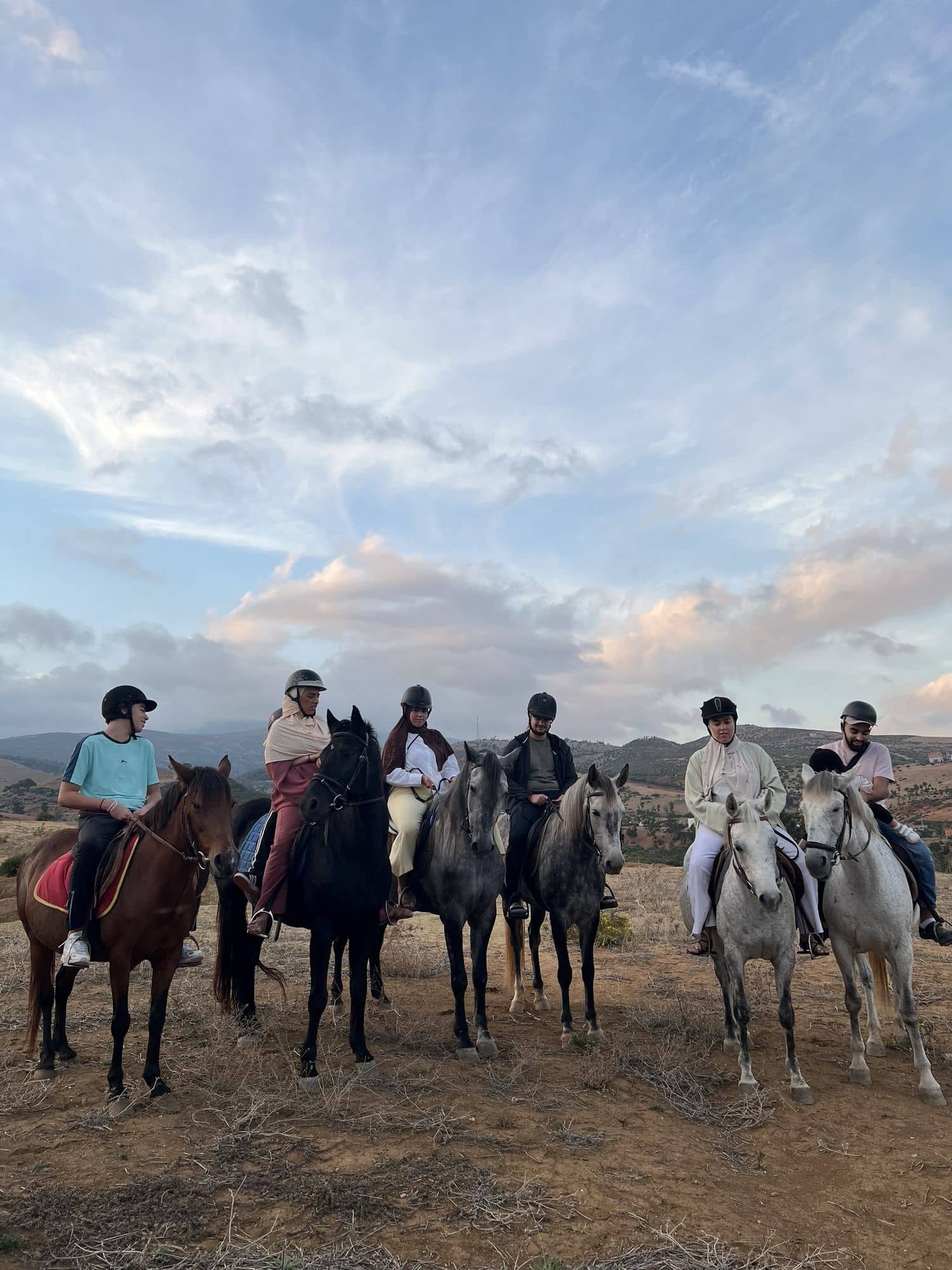
Message on WhatsApp with the date and the length that suit you. The stable replies and holds the slot.